Looking back on the 3D-Laserscanning Campaign on Sai Island

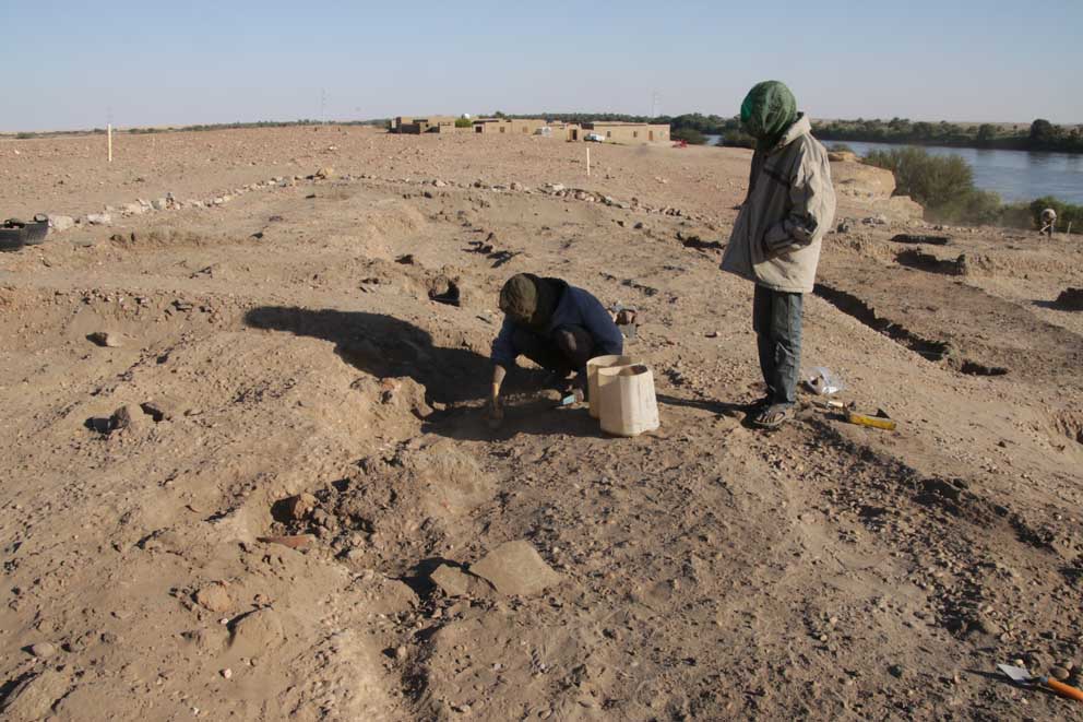
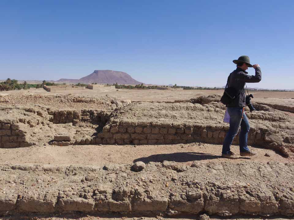
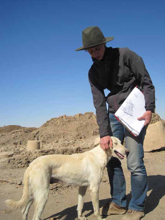
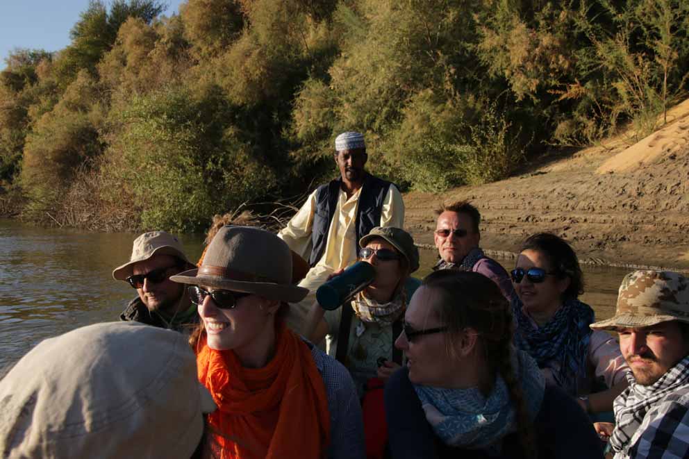
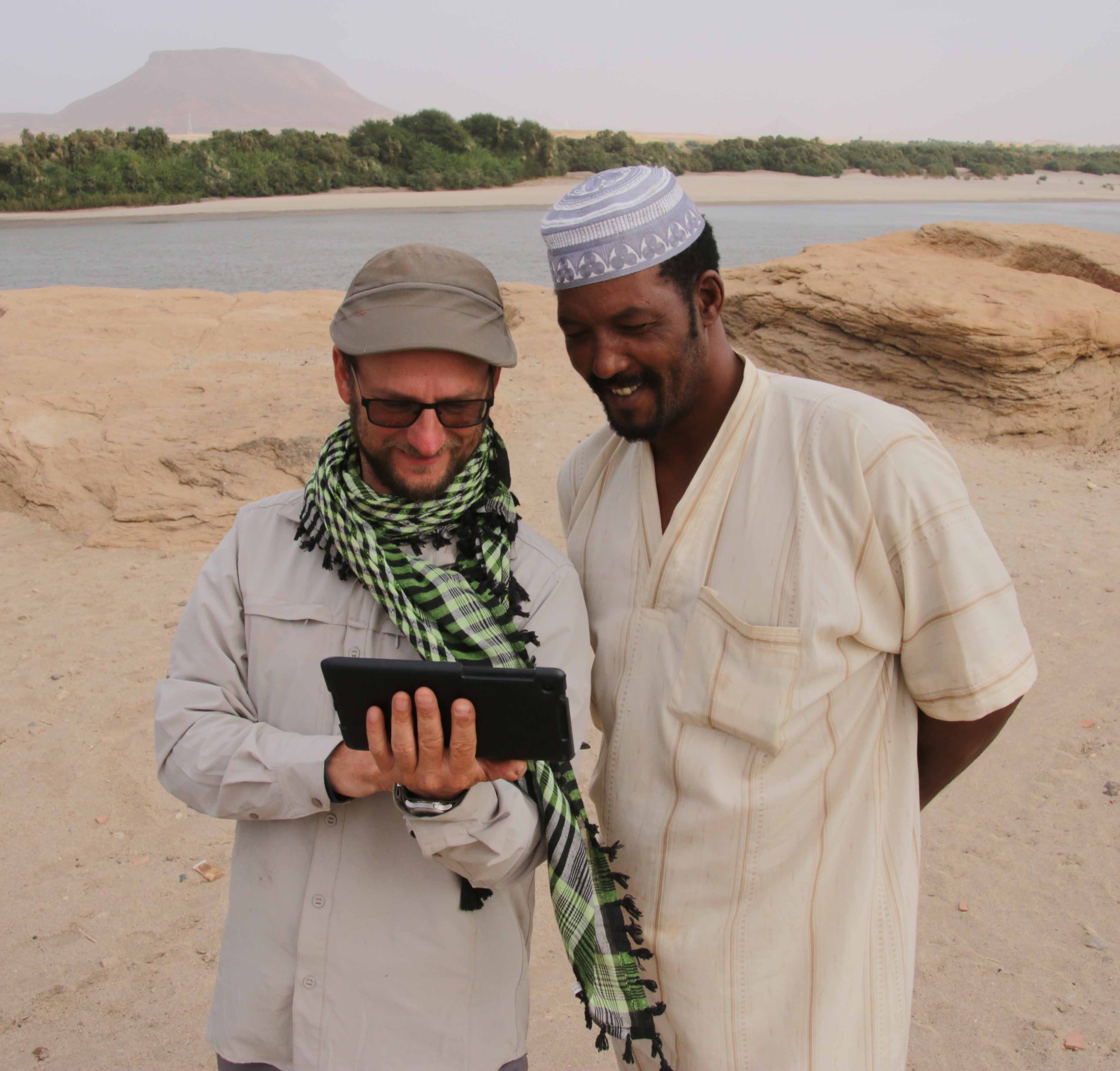
Even though we have already been back in Vienna for some time, I would like to give some information on the 3D-laserscanning campaign, which was carried out on SAI Island from February 3-10, 2014. Robert Kalasek from the Technical University of Vienna was the main person in charge of the scanning process, providing his know-how and years of practical experience in the field of 3D-laser scanning. My part was to provide technical and scientific assistance, letting the knowledge acquired from last year’s architectural survey flow into the work process.

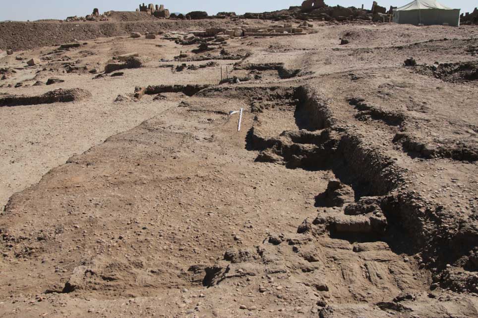
The main goal of the work was to obtain a complete geometric documentation of the remaining walls and floors of the southern part of the New Kingdom town on Sai Island. 3D-laserscanning seemed to offer the most comprehensive result which could be achieved in a relatively short time.

For the scanning an Image Laser Scanner Riegl VZ-1000 was used, a Nikon D800 camera with a 14 mm lens was mounted on the scanner in order to record the texture. During the scanning process a grid of three dimensional points is automatically measured in the surveyed area by the instrument. So-called 3D point clouds result from this process, including xyz-coordinates and an intensity value depending on the surveyed material.

IMG_1064

Image Laser Scanner Riegl VZ-1000 in front of the ruins

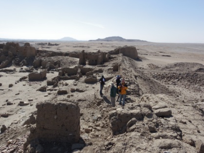
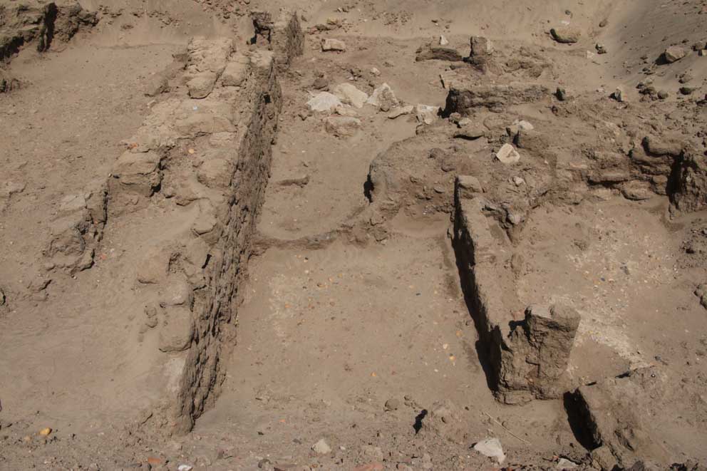
The complete scanning of the remains of the Pharaonic town required 155 different scan positions, whereby the maximum distance of the measured points ranged between 200 and 400 m, according to the angle of incidence and the reflectivity of the material. The result of each scan is a point cloud in a local coordinate system. In a next step, the scans can be joined (registered) with the help of a multitude of reflector points, which were distributed throughout the ruins. Generally, at least five overlapping points are needed in order to put two scans together. These reflector points were also measured with a total station so that the registered scans can be placed into a geo-referenced net. With the help of the intensity information one can encode the three dimensional point clouds with different colors, which is often sufficient to differentiate the various objects.

ansicht_mitte

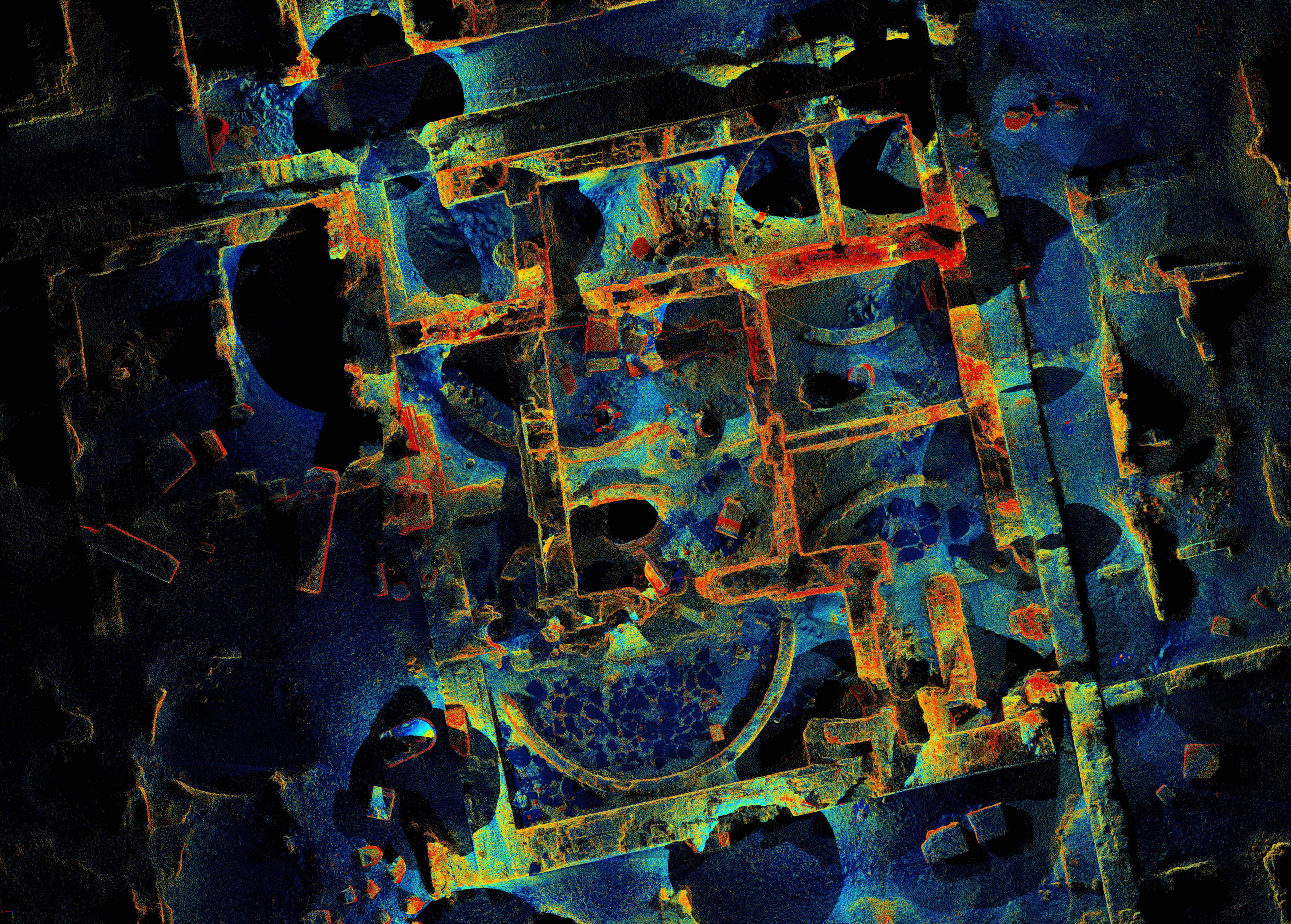
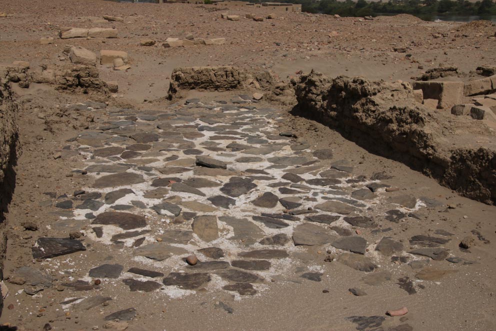
Scan of part of the storage rooms of the Pharaonic town with different colors for the intensity of the textures

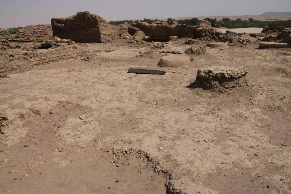
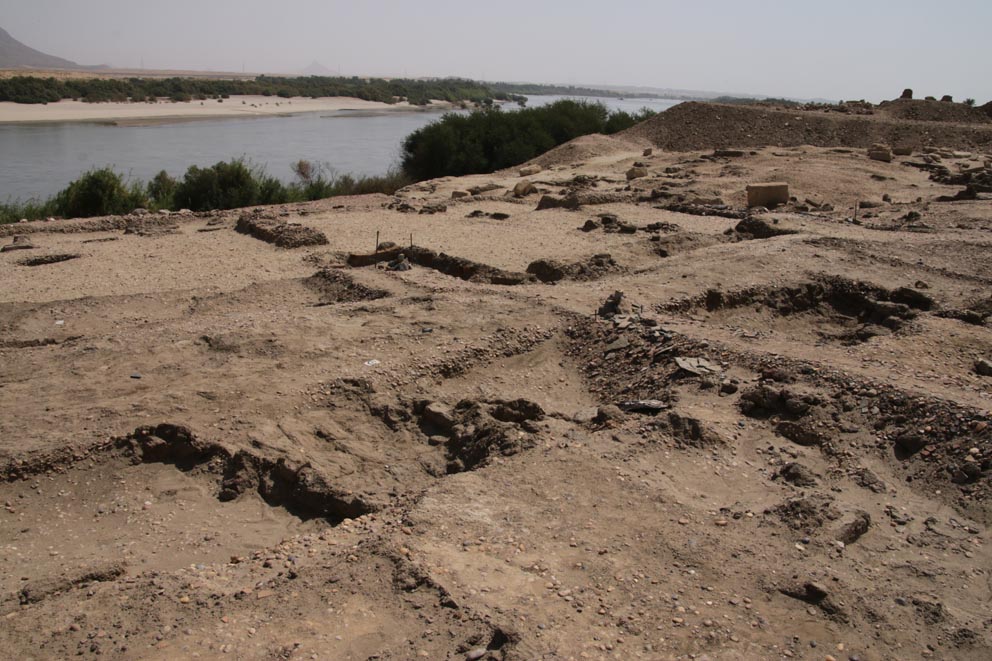
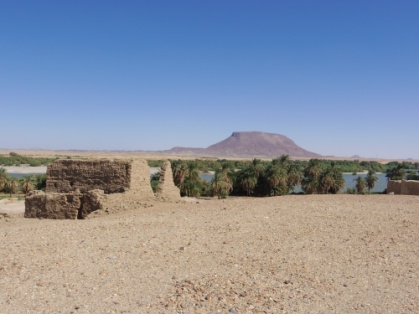
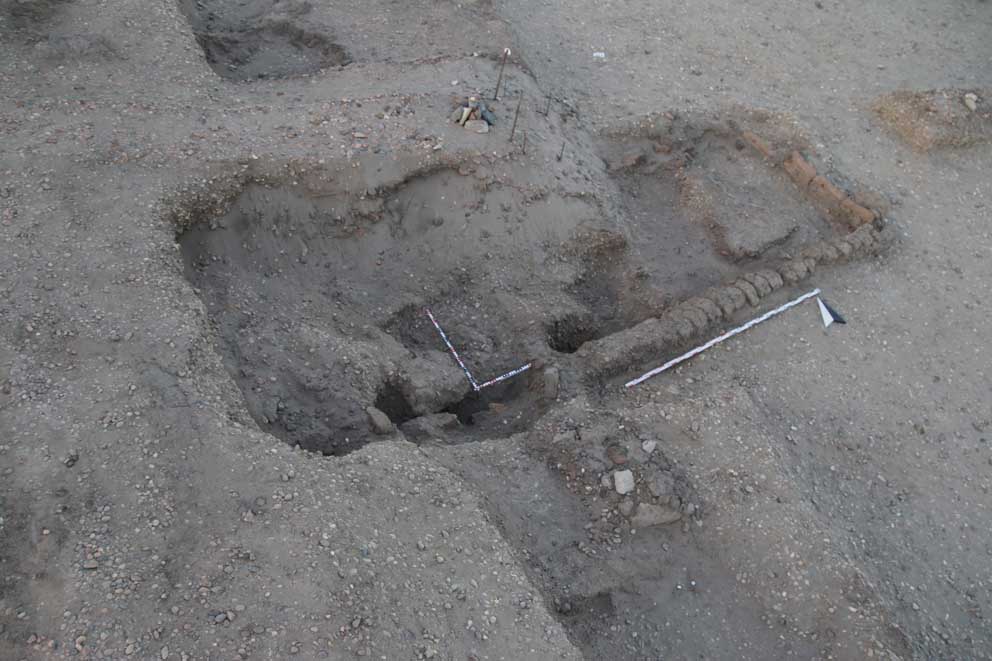
In addition to the standing remains of the Pharaonic town, the newly excavated trenches (SAV1 East and SAV1 West) as well as SAV1 North were also scanned and geo-referenced. In order to collect data for the topographic understanding of the surroundings, four long-range scans (range: 1.2 km) from elevated points were also undertaken. This could maybe help in understanding the general topography of the town and also to clarify questions such as the course of the city wall on the eastern side of the town.

scans_auswahl_aus_allen_projekte_2pt_03_25prozent

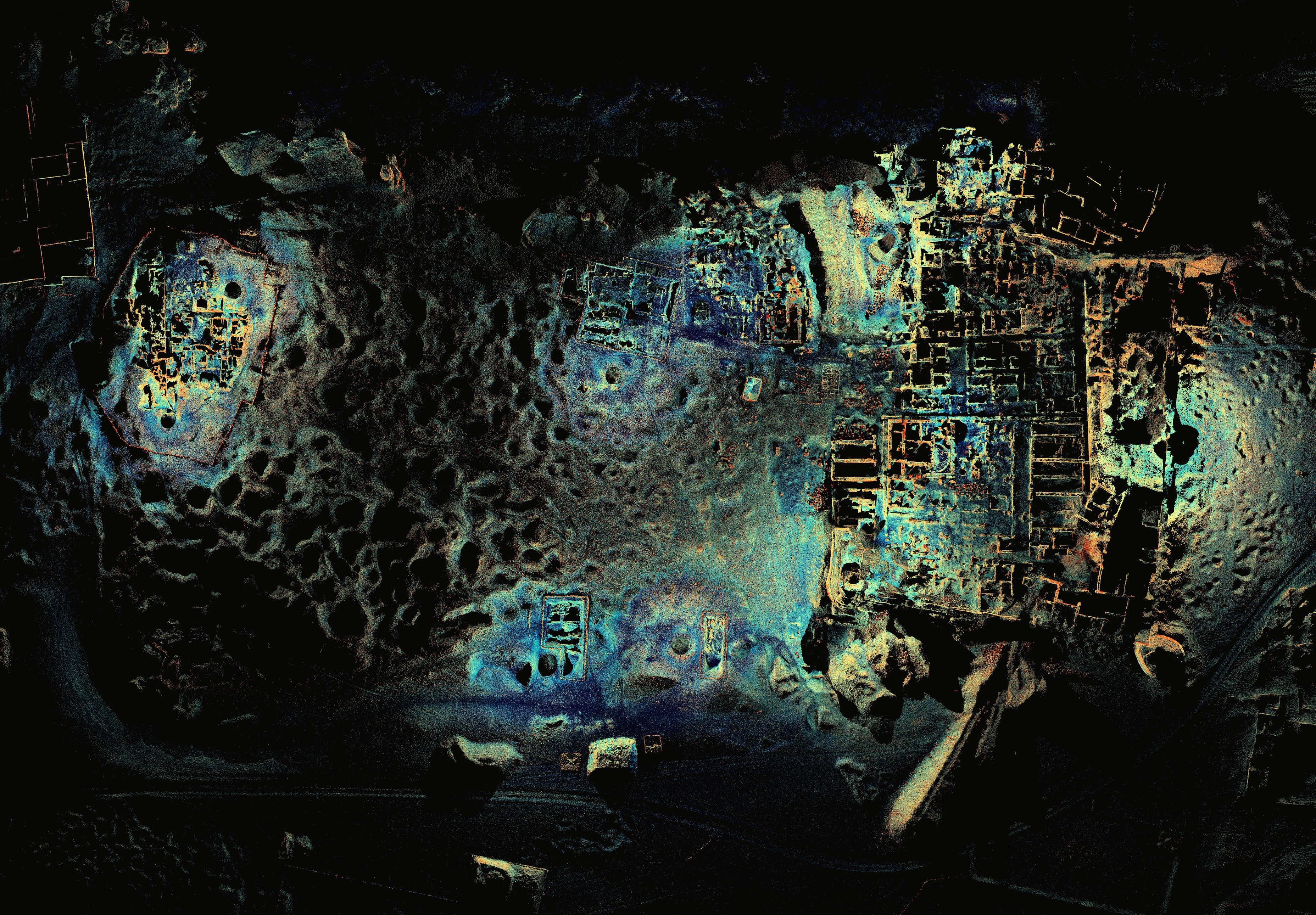
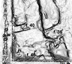
Overview of the entire area of the Pharaonic town compiled from selected scans

Looking back on our days on Sai Island, I am happy to say that our campaign proved to be very successful and everything worked out as planned. Luckily, we had very few nimiti-days and the strong winds did not affect the stability of the scans as much as we had feared. The work-flow was very smooth and even though the work load was intense, especially for Robert, who worked on the data acquired during the day every evening until long into the night, we left Sudan with a lot of positive energy.

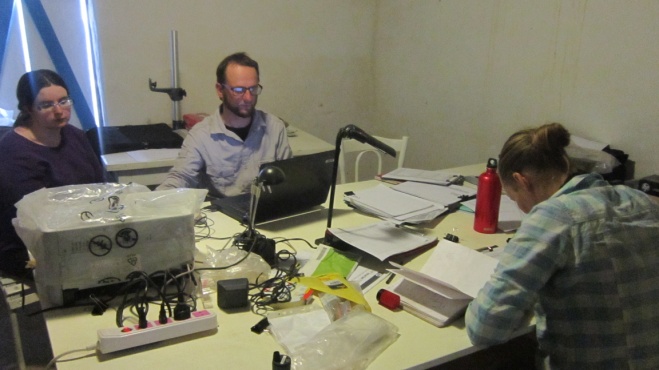
Next to the final registration of the scans, the post-processing in Vienna now entails the preparation of the data, e.g. reducing the enormous amount of data and refining the registration. The final output, a geometrically accurate three-dimensional model, can be used in the future to produce scaled plans and sections and a terrain model. It can also serve as a basis for further analyses and the creation of a reconstructed visualization of the Pharaonic town.

Pavements and floors at SAV1 East

View of part of the brick pavement in the governor's residence.

View of part of the brick pavement in the governor’s residence.

Different types of floor coatings, layers and pavements are well known from the southern part of the Pharaonic town of Sai examined by Michel Azim in the 1970ties. For example, the central room of the so-called governor’s residence has a splendid and very nicely preserved brick pavement. Some of the magazines show schist floors of which large pieces are still in place, together with a thick layer of gypsum. Similar schist floors have been recently excavated at Amara West, also within the context of storage rooms in the Rameside town.

Magazine with schist floor still in place.

Magazine with schist floor still in place.

At Sai, SAV1 East with its large building complex, Building A, resembles in some aspects the southern part of the town and especially the area of the governor’s residence. During excavation in 2014 a large amount of schist fragments were found (according to our geologist, Erich Draganits, the correct term for this type of stone is amphibolite). Very often these fragments are still coated with gypsum/plaster – direct evidence that they have been used to cover parts of a building, most likely the floor. The schist fragments came to light from both, directly below the modern surface above remains of mud floors and, in larger numbers, from fillings of large pits cutting into the New Kingdom structures. It is therefore likely that a former schist pavement has been destroyed in antiquity and the plates were broken and dislocated.

Overview of Southern half of Square 3 - note the schist fragments in the southern baulk, within the filling of pit 46.

Overview of southern half of Square 3 – note the schist fragments in the southern baulk, within the filling of pit 46.

All in all, 330 fragments were recovered from the western edge of Square 3 and Square 4 at SAV1 East. They would cover an area of approximately 3 square meters (not calculating spaces between the individual plates), indicating that either just a small area of the entrance rooms of Building A was equipped with this special paving or that much has been lost and we only found a very small percentage.

The first interpretation seems more likely as actually 3 square meters fit perfectly to the area where the highest concentration of schist fragments was discovered: between feature 40, a small interior wall running East-West, and feature 36, the main North-South wall in Squares 3 and 4, running parallel to the Eastern side of Building A as exposed in 2013.

    Southwestern corner of Square 3: between features 40, 36 and 46 the highest concentration of schist plates was found (Digital surface model: M. Fera 2014).

Southwestern corner of Square 3: between features 40, 36 and 46 the highest concentration of schist plates was found (Digital surface model: M. Fera 2014).

Some mud pavement remains have also survived – maybe they originally were the lower bedding for the schist plates; towards the south, pit 46 cuts off the New Kingdom remains.

Even if Building A has been badly damaged and its present state of preservation is largely restricted to the foundations, the elaborate schist floor somewhere in the western part of the structure underlines its high quality of building technique and important status comparable to the governor’s residence.

Two months at the archaeological site of Sai Island

The director of the mission thinking about the future of this area.

The director of the mission thinking about the future of this area. Photo: Martin Fera.

It’s not a fairy tale, but a real-life story: telling the tale of a group of researchers, experts and trainees in the field of archaeology of different nationalities and various ages. They are Austrians, Germans, French, Belgian, Italian, Greek, British, Egyptian, Sudanese, and local Nubians, all working under the direction of someone who despite of her young age was able of leadership and brilliant management, dealing with situations severely when there was the need to.

Family, work and archaeological excavations in the Pharaonic city of Sai Island.

Family, work and archaeological excavations in the Pharaonic city of Sai Island.
Photo: Martin Fera.

The archaeological mission covered a period of two months, during which the group of researchers was set in center of the local community in the French digging house on Sai Island. Surrounded on the east by the great Nile and a magnificent scenery with palm trees, sand and mountains. On the south, west and north of the house expand the archaeological remains of one of the greatest sites in Northern Sudan, covering a wide range of periods: This is Sai lsand, or as the locals call it, the Land of Khalil. The property of the famous Sudanese poet (Khalil Frah) , who used to live on this island,  has still survived in the extreme north of the island.

Huda 4Huda 5Huda 6Huda 7Huda 8huda 3Sai Island archaeological site in the heart of beautiful landscape (Photos: Martin Fera)

The schedule of the mission required very hard work in the field, conducting archeological excavations, and also documentation in the lab, especially with the study collection of Pharaonic Egyptian antiquities characteristic for Upper Nubia.

Huda 10

The field work team members during office work in the afternoon. Photos: Huda Magzoub.

Huda 9


The tasks of the director Julia were immense, as the administration of the house, field work and mission accumulated with her beloved study and classification of pottery.

Huda 11

High expertise in the classification of large amounts of pottery from the Pharaonic town of Sai Island. Photos: Huda Magzoub.

Huda 12 Huda 13Documentation and drawing of the ceramics were achieved with the help of a group of German, Austrian and Italian students and archaeologists. The study of pottery from the New Kingdom town of Sai, and here especially of the proportion of Nubian vessels and wares, plays a significant role in understanding 18th Dynasty Sai.


Huda 16Huda 15Huda 14

Members of the pottery study  group: Dr Giulia, Julia, Nicole (and Elke, not in the picture). Photos: Huda Magzoub.

Another important aspect of understanding Sai is the study of animal bones – this year undertaken by Konstantina (Nadia) Saliari.

Study and classification of the Pharaonic animal bones from Sai.

Study and classification of the Pharaonic animal bones from Sai. Photo: Huda Magzoub.

More specialists: Dr Erich, Dr Ingrid, Dr Robert and Florence (the last three not in the photo), had special tasks and worked in various areas. Photo: Martin Fera.

More specialists: Dr Erich, Dr Ingrid, Dr Robert and Florence (the last three not in the photo), had special tasks and worked in various areas. Photo: Martin Fera.

The director of the mission did not forget to reward her team for the hard work, and also tried to find ways to come together with the local community despite the tight working schedule. During the two months she organized trips to visit archaeological sites (Soleb, Sedeigna, Gebel Ducha, Sesebi and of course to Amara West in the North). In addition, interconnection and communication with the local community and families on Sai was achieved by joining them at their ceremonies, both on formal and informal occasions.

Huda 20

Team members of Sai Island visit other archaeological sites. Photos: M. Fera.

Huda 19


The reception and a number of visits by local residents, foreign missions (visit of the British Museum team working at Amara West, visit of the French ambassador and his companions) and by staff of the National Authority for Antiquities and Museums has to be mentioned.

Huda 21

Photo: Martin Fera.

The archaeological season on the island has ended with much joy and celebrations, wishing the advent of a new year 2015 inshaallah.

Clay figurines from the Pharaonic town

Spending some days in Berlin, I just had the pleasure to meet Nicole and Julia – this season’s registrars of objects who did a great job on Sai! Reviewing the database and object drawings, I’d like to share some thoughts on animal figurines we encounter in the Pharaonic town of Sai.

At all three sites currently investigated by AcrossBorders – SAV1 North, SAV1 East and SAV1 West, mould-made animal figurines, especially of horses, have been found in the upper levels and in mixed fillings of pits cut into the Pharaonic brick work. They are of Medieval date and complement the small corpus of human figurines from the same period.

In addition, all excavation areas have yielded small, hand-modelled clay figurines of humans and in particular of quadrupeds. The clay is usually poorly fired and most figurines are only fragmentary preserved. There are a few rams attested, but the majority represents cattle. As of now, 8 bull figurines have been found at SAV1 North, 1 piece at SAV1 East and 3 figurines at SAV1 West.

Pencil drawing of one of the new figurines from SAV1 West.

Pencil drawing of one of the new figurines from SAV1 West.

The cattle figurines seem to be of 18th Dynasty date and the question arises whether they fall into the well attested Nubian tradition to value cattle highly – especially because the clay figurines might indicate household religious practice and cattle played an important role in Nubian religion (Smith 2003, 133). The prominence of Nubian cattle survived the Kerma kingdom, the animals had a key significance for the Egyptians during the New Kingdom. Our small clay figurines find ready parallels at several sites in Nubia, for example at Quban (Emery and Kirwan 1935, fig. 33) and Askut (Smith 2003, 135, fig. 5.32). At Sai, a particularly well preserved piece was discovered in the so-called governor’s residence, SAF2, during French excavation in the 1970s.

Cattle figurine from the so-called governor's residence.

Cattle figurine from the so-called governor’s residence.

I do hope that upcoming work at SAV1 West will allow us to contextualise the group of cattle figurines in more detail and to confirm their date as New Kingdom. With future finds, we will then be able to continue thinking about the symbolic value and function of these simple but very appealing representations of important animals.

SAI_1535

References

Emery and Kirwan 1935 = W. B. Emery and L.P. Kirwan, The Excavations and Survey between Wadi es-Sebua and Adindan 1929-1931, 2 vols., SAE, Mission archéologique de Nubie 1929-1934, Cairo 1935.

Smith 2003 = St. T. Smith, Wretched Kush. Ethnic identities and boundaries in Egypt’s Nubian Empire, London and New York.

Painter’s pots from SAV1 West

Ancient Egyptian houses have been quite colourful as we know from well preserved sites like Amarna (cf. e.g. Kemp 2012 with nice colour plates and illustrations) and Amara West – in addition to the common mud plaster coating the mud-brick walls, traces of whitewash and painted wall plaster is documented. Also remains of pigments have frequently been found in ancient settlement contexts, most often on some kind of painting palette in various materials.

A small group of 11 pottery vessels from SAV1 West falls into this category and gives first indications that also the houses in the New Kingdom town of Sai might have been partly painted and decorated: these vessels show all traces of pigments on their interior, mostly yellow, blue and some red. These are the most common colours within domestic contexts (as well as for decorating stone blocks of temple architecture).

Interior of one of the painter's pots from SAV1 West.

Interior of one of the painter’s pots from SAV1 West.

The painter’s pots from SAV1 West have all been found in Square 1, towards the east of the enclosure wall, presumably thus connected with structures from the interior of the town. Some grinding stones and hammer stones with traces of pigments have also been noted, as well as plaster remains and what seems to be gypsum.

The vessels are mostly small flat based simple dishes and so-called flower pots – the latter are well known as painter’s pots from tomb context in New Kingdom Egypt (see, e.g. Brack/Brack 1977, 80) and temple sites (for example from the pyramid complex of king Ahmose at South Abydos; personal observation, still unpublished material from Stephen Harvey’s excavation).

One of the "flower pots" from SAV1 West with yellow pigment inside.

One of the “flower pots” from SAV1 West with yellow pigment inside.

Insha’allah we will be able to investigate the pigments, plaster and gypsum left on ceramic sherds and stone tools next year in more detail – possibly with exporting some samples with the permission of the National Corporation for Antiquities & Museums in Sudan for analyses here in Vienna. As yet, the painter’s pots from SAV1 West give small hints that the furnishings in people’s houses of Sai were maybe following similar standards like in Egypt, where light and colour had quite important functions (cf. Kemp 2012, 188-190).

References:

Brack/Brack 1977 = A. Brack and A. Brack, Das Grab des Tjanuni. Theben Nr. 74, AV 19, Mainz am Rhein 1977.

Kemp 2012 = B. J. Kemp, The City of Akhenaten and Nefertiti. Amarna and its people, Cairo 2012.

Seti I at Sai Island?

During our 2014 field season on Sai Island, working in the New Kingdom town, we also devoted some time to re-organize the finds from the early French exploration of the town under Jean Vercoutter, now stored in the magazine of the French digging house. There are beautiful and important highlights among them complementing our recent findings at SAV1 East and SAV1 West.

It was a very nice coincidence that while I was just working on one particular puzzling piece we received a visit by the Amara West team directed by Neal Spencer (British Museum). I was keen on showing them this object as it seemed to have links to Amara West and the founder of this temple town, Seti I – and it came even better: they had just found something very similar during the current fieldwork!

Chiara Salvador wrote a very interesting post about the Amara object with several pictures.

The piece of mud with impressions of cartouche shaped stamps from SAF5.

The piece of mud with impressions of cartouche shaped stamps from SAF5.

The Sai object nicely compares to the one from Amara West – unfortunately both are fragmented and parts are missing, leaving some room for doubts and discussion. It is a piece of mud with an almost triangular section, two flat surfaces at the back and a front side showing impressions of large cartouche shaped stamps. According to the French digging diary it was found together with a second fragment on December 16 1973 in the Northwestern corner of a structure labelled SAF5 in the southern part of the Pharaonic town. Unfortunately further information about the find context is not available.

Overview of the general find spot of the mud fragment: SAF5 in the New Kingdom town.

Overview of the general find spot of the mud fragment: SAF5 in the New Kingdom town.

The building complex SAF5 is still not well understood – it obviously had several building phases and its present state is very fragmented, especially on the western side, having been largely flattened during Ottoman times. Vercoutter proposed a function as door sealing for the stamped piece and this seems indeed the most likely interpretation, corresponding to what our colleagues from Amara West assume for their pieces. It is definitely not a stamped mud brick, but a flattened piece of mud with several stamp impressions on one side, one above the other (only the lower edge of the cartouche is preserved of the upper stamp) and a peculiar, almost rectangular impression on one of the back sides.

Like at Amara, the impression on SAV002 has only survived in the upper part: The sun disk (Ra) is clearly readable as well as a seated goddess Maat, with a feather on her head, holding an ankh-sign in front of her. The lower part of the cartouche stamp is missing – excactly as for the Amara West piece, it could have been Maat-[ka]-ra (Hatshepsut), [Neb]-maat-Ra (Amenhotep III) or [Men]-maat-Ra (Seti I). Hatshepsut is not yet attested on Sai Island, leaving Amenhotep III and Seti I as the more likely candidates. Amenhotep III was very active on Sai, work continued in his name at the temple for Amun-Re (Temple A), attested by inscribed blocks and other evidence. Seti I is known to have founded Amara West as administrative center of Kush, possibly shifting activities from Sai towards the new neighbouring site. Two stelae refer to military activites of the king in Nubia – one from Amara West and the other was set up in Sai where it was discovered during the early French excavations (Vercoutter 1972; el-Saady 2011)! The Abri-Delgo reach with its rich mineral resources, especially gold, was for sure of interest to Seti. The Nauri decree mentiones an as yet unidentified fortress of the king of whom building activity is also attested at Sesebi (cf. el-Saady 2011: 436). As the Sai stela indicates, it is unlikely that the island was completly abandoned during the early 19th Dynasty. At present we do have little evidence for occupation– a small number of ceramics from the town and some objects from the cemeteries date to the early 19th Dynasty, most probably to the reigns of Seti I and Ramesses II.

The relation between Sai and Amara West in the early Ramesside period are essential open questions of our current research – connecting finds from old and new excavations at both sites has much potential and promises new insights in the upcoming years!

All in all, especially considering the exciting new finds at Amara West, I do think that reconstructing the mud impression on the piece from SAF5 as Men-Maat-Ra, thus Seti I, is the most probable solution. Further interpretation and contextualizing the royal stamp from SAF5 must await future work, both in the field and the magazine, and continuous cooperation with the team currently re-excavating the Ramesside center of Kush .

References:

el-Saady 2011 = Hassan el-Saady, Egypt in Nubia during the Reign of Seti I, in: Mark Collier/Steven Snape (eds.), Ramesside Studies in Honour of K.A. Kitchen, Bolton 2011, 433-437

Vercoutter 1972 = J. Vercoutter, Une camapagne militaire de Séti en Haute Nubie. Stèle de Saï S. 579, in: RdE 24, 1972, 201-208, pl. 17.


A fragmented stela from SAV1 West

One of the highlights of this season at SAV1 West is a small fragment of a private sandstone stela, SAV1W 590. Unfortunately it is without proper archaeological context being a surface find which Martin Fera discovered south of Square 1, more or less in line with the town enclosure.

Stele SAV1WjpgThis interesting piece (10.6 x 11.2 cm with a width of 3.4 cm), the upper part of a round-topped small stela, was decorated in raised relief of quite good quality. The lunette shows the common motif of a so-called shen-ring flanked by two udjat eyes. Below the right udjat eye, facing left, the presumed donor of the stela is represented: He is wearing a shoulder long wig and is offering a libation to persons facing him. Only the lotus flower held by the first seated person on the left is preserved – it was probably a female family member, maybe the mother of the donor.  However, in the 18th Dynasty the lotus as an attribute is also well attested for men. For example, a fragmented sandstone stela discovered in the elite New Kingdom cemetery at Sai shows a seated couple, with the man holding a lotus flower next to a woman embracing him (T16S21, see Minault-Gout/Thill 2012, Sai II, p. 162, p. 84).

All in all, the upper part of our sandstone stela displays a scene commonly associated with funerary stelae – a son, taking the role of a funerary priest, offering to family members, in most cases to his deceased parents. A nice complete example of this general theme is the round-topped limestone stela British Museum EA 280.

According to the stylistic features of hair and costume of the donor, I would suggest the mid 18th Dynasty as most likely date for the stela from SAV1 West. Closely similar are representations of persons on stelae originating from the reigns of Thutmose III and especially Amenhotep II – for example the stela of viceroy Usersatet offering to Thoth, now in the British Museum (EA 623).

Stele SAV1W590 detail

The anonymous donor of SAV1W 590

Regrettably, no text has survived on our piece identifying the offering person by name – we can safely assume that it was one of the officials working and living on Sai, and maybe even getting a tomb and burial here. What must remain open for now is whether the small stela from SAV1 West depicts an Egyptian official (born in Egypt and temporarly stationed in Nubia) or rather an “Egyptianized” family member of the elite indigenous clans who are known to have played an important role in Upper Nubia during the New Kingdom. The missing lower part of SAV1W 590 may have held some text and thus give additional information – maybe we will be lucky enough to relocate it next year!

Summary of the 2014 field season

Almost ready to leave Sudan tonight, it’s time to sum up the last 9 weeks here in the field. All of the envisaged tasks and sub-projects within the framework of AcrossBorders have been successfully carried out: excavations at SAV1 East and at the new site SAV1 West; documentation of the architecture at SAV1 North and processing of finds and pottery from all sectors of the New Kingdom town. Furthermore the 3D Laser Scanning of the New Kingdom Town was conducted by Robert Kalasek and Ingrid Adenstedt, Giulia d’Ercole continued her sampling of ceramics from the town for iNAA and petrographic studies, Konstantina Saliari started to work on the animal bones, coming from sector SAV1 North and Erich Draganits carried out geoarchaeological investigations, providing interesting results about the natural sourroundings of the New Kingdom town.

SAI_0217At SAV1 East much progress has been made in 2014 to understand the outline of the major structure, “Building A”. Its date to the mid 18th Dynasty was confirmed; we now know that it extends further to the norSAI_0712th and to the west. Schist pavements and mud pavements have been noted and especially the western part with small interior walls resembles closely the front rooms of SAF2, the so-called governor’s residence in the southern part of the Pharaonic town – nicely fitting to our preliminary assessment of the building.

However, some of our previous assumptions had to be revised. This holds in particular true for feature 15 – its western part was exposed in Square 4. In 2013, we interpreted this rectangular feature, lined with red bricks on the interior, as an intrusive structure of Post-Pharaonic date and of unclear function. The new findings in 2014 now change the picture a bit: Feature 15 has a minimum extension of 5.6 m West-East and 2.2. m North-South.

To be excavated in 2015: Feature 15 in SAV1 East.

Still to be completly excavated in 2015: Feature 15 in SAV1 East.

Its western wall is set against the natural pebble in Square 4 – the top part of which is covered with an 18th Dynasty mud floor. The Southern wall of feature 15 is still preserved to a height of 55 cm and the bottom edge has not yet been reached! So it is much deeper than we originally thought! The complete western part of the structure is still covered with very loose back filling of gravel, mud bricks and ceramics. Interestingly, the ceramics deriving from the newly exposed sections of the walls of feature 15 are all consistently mid 18th Dynasty in date – thus, contemporary with the other walls and features of Building A. All in all, the present working hypothesis is that feature 15 represents a New Kingdom storage installation of a rectangular shape, with a vaulted roof located below the floor level of Building A. It is therefore most probably a cellar, set against and dug into the natural gravel. Excavation of feature 15 will continue in the next season.

SAV1 West proofed extremely interesting and rewarding – even if it took us four weeks to clean sandy fillings of pits and later disturbances. As already reported, we found the New Kingdom town wall and also remains of the occupation within the town. Towards the east of the enclosure wall, thus inside the city, large amounts of sandy backfilling of pits and collapsed mud bricks had first to be removed, but then we reached a level in the Eastern half of the Square where in situ New Kingdom structures are visible!

A view into the "wall street" in Square 1 with promising deposits and structures to the East.

A view into the “wall street” in Square 1 with promising deposits and structures to the East.

Several floor levels and ashy layers attest to a multi-period use of small mud brick buildings orientated along the “wall street” of the western edge of the town, resembling very much the findings in SAV1 North.

Based on my analysis of the ceramics, the mud brick structures and remains in Square 1 of SAV1 West seem to originate from the mid until the late 18th Dynasty. No material earlier than Thutmose III was found, seemingly providing a terminus ante quem non for the building of the town wall and the visible structures belonging to the interior occupation. But of course this will have to be clarified by excavation next year! What we can say now is that there are several phases of use and the early 18th Dynasty is as yet missing.

SAV1 West: 1000ds of diagnostic pottery sherds from the 18th Dynasty are still waiting for detailed processing!

SAV1 West: 1000ds of diagnostic pottery sherds from the 18th Dynasty are still waiting for detailed processing!

In addition to the Pharaonic building phases, we spend much energy to carefully document the Post-Pharaonic formation processes at SAV1 West. This resulted in a better understanding of the later destruction and also the re-use of the town wall. The destruction happened mostly in (early) Christian time, additions and secondary structures seem to have been added later, partly using the taken out brick work. With the findings of walls in Square 1W, we can trace a continuous use of small shelters set against the ancient wall – they must have been in use over a certain period – details must await a coming ceramic analysis.

To conclude, the 2014 field season resulted in very important insights and added information about the evolution of the Pharaonic town of Sai Island. Especially the period of the mid 18th Dynasty, of the reigns of Thutmose III and Amenhotep II, marked a major remodelling of the site; the material remains illustrate a prosperous heyday of Sai as on of the important administrative centres of Upper Nubia, thus corresponding with the textual sources.

End of the 2014 season – a personal view

Photo: Martin Fera, 2014.

Photo: Martin Fera, 2014.

Having safely arrived in Khartoum yesterday, I don’t want to finish this 2014 field season without some personal words and expressing special thanks! Looking around in my hotel room, there are tons of important paper documentation, beautiful drawings and 100ds of digital files, all important data of a very fruitful campaign which we will take to Vienna – keeping us busy in the next months.

But there is also so much more: so many memories – moments of joy, happiness, stress, nimiti-madness and more! All in all I do miss already now, just after one day, the island, the archaeological sites, the tons of pottery, but also the wonderful people there! We have not just been working on Sai Island in the last 9 weeks, but we were living there – and I am very grateful that we’ll be coming back! Despite of the dreadful nimiti-flies!

I consider myself very fortunate to be able to work not only at a fascinating and scientifically thrilling site, but also in a very pleasant social environment! Therefore tons of thanks to all of my team members: Sudanese, multi-national and canide! Special thanks go of course to Huda Magzoub, our NCAM inspector who was very busy with all the different sub-projects this year – and did a great job!

SAI_0945Further thanks to the photographers whose pictures I here use where words would just fail…

At Saisab, 2014.

At Saisab, 2014.

DSC_2037 GdE

Photo: Giulia d’Ercole 2014.

IMG_4366

Photo: Nicole Mosiniak 2014.

IMG_4925

Photo: Nicole Mosiniak 2014.

IMG_4809

Photo: Nicole Mosiniak 2014.

IMGP0939a

Photo: Martin Fera 2014.

P1010194  SAI_4467 SAI_1634a