End of fieldwork at SAV1E

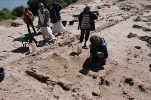
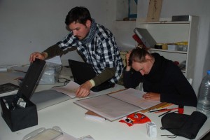
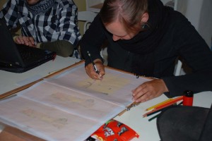
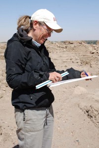
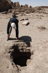
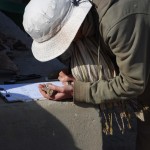
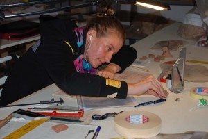
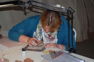
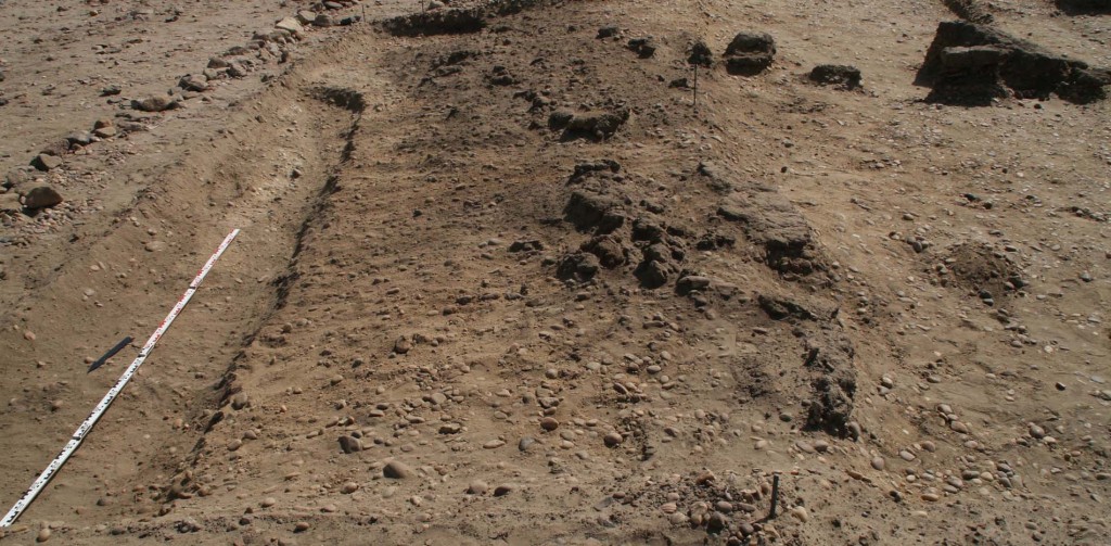
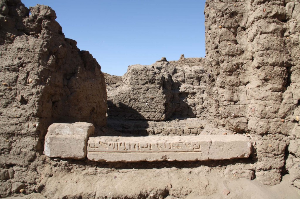
We have just finished excavating for this season at SAV1E – we will continue with small scale cleaning and especially with final drawings and mapping at the site in the upcoming week – and will keep you posted! All together three more weeks will be dedicated to a post-excavation study season on Sai Island – all necessary documentation of finds from SAV1E including the finalising of lists, databases, and photographs, registration of objects and ceramics and drawing of finds.

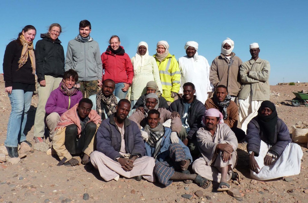
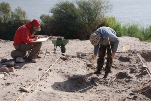
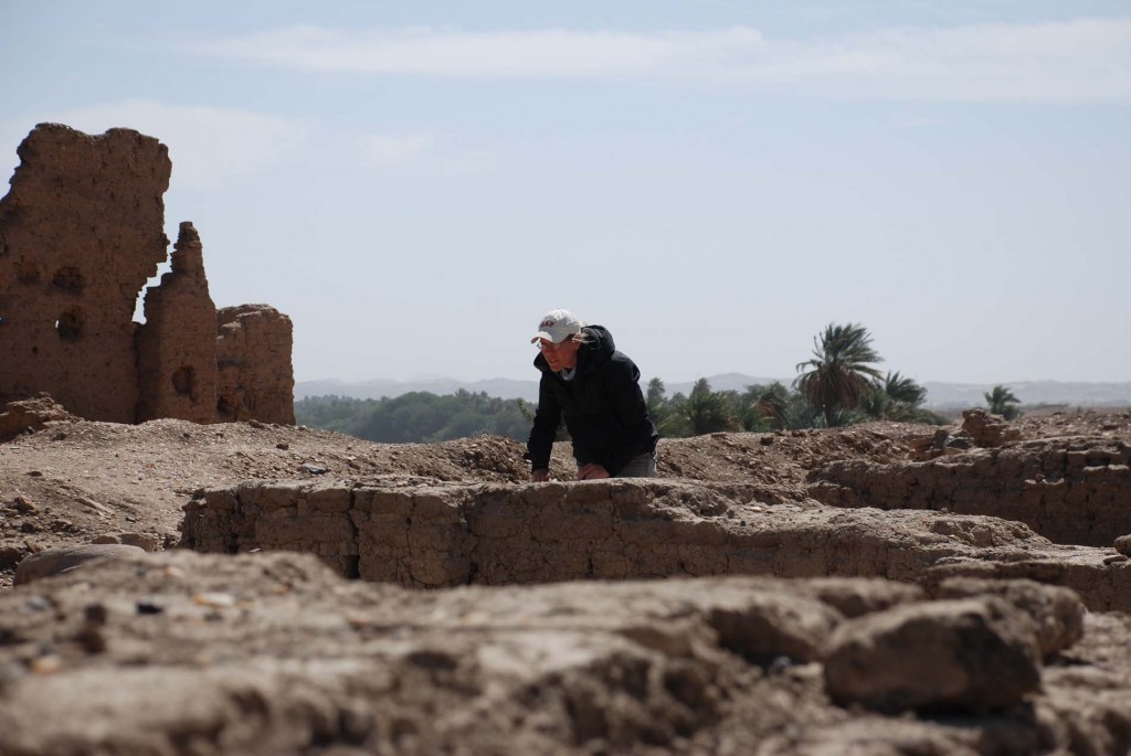
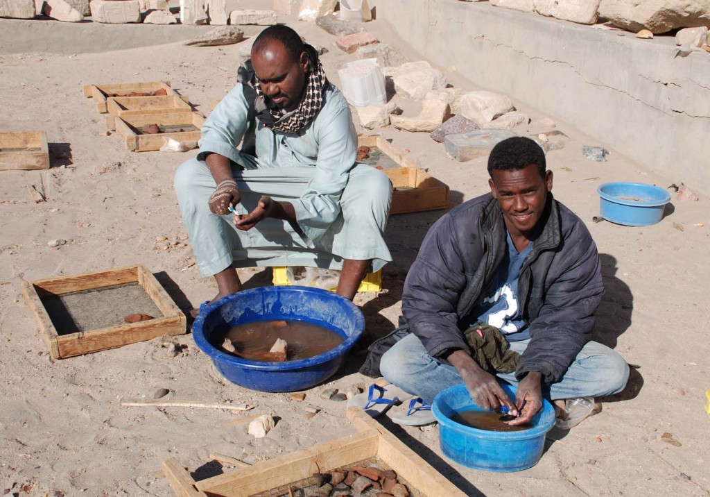
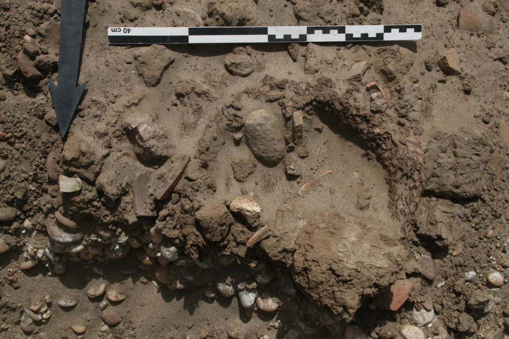
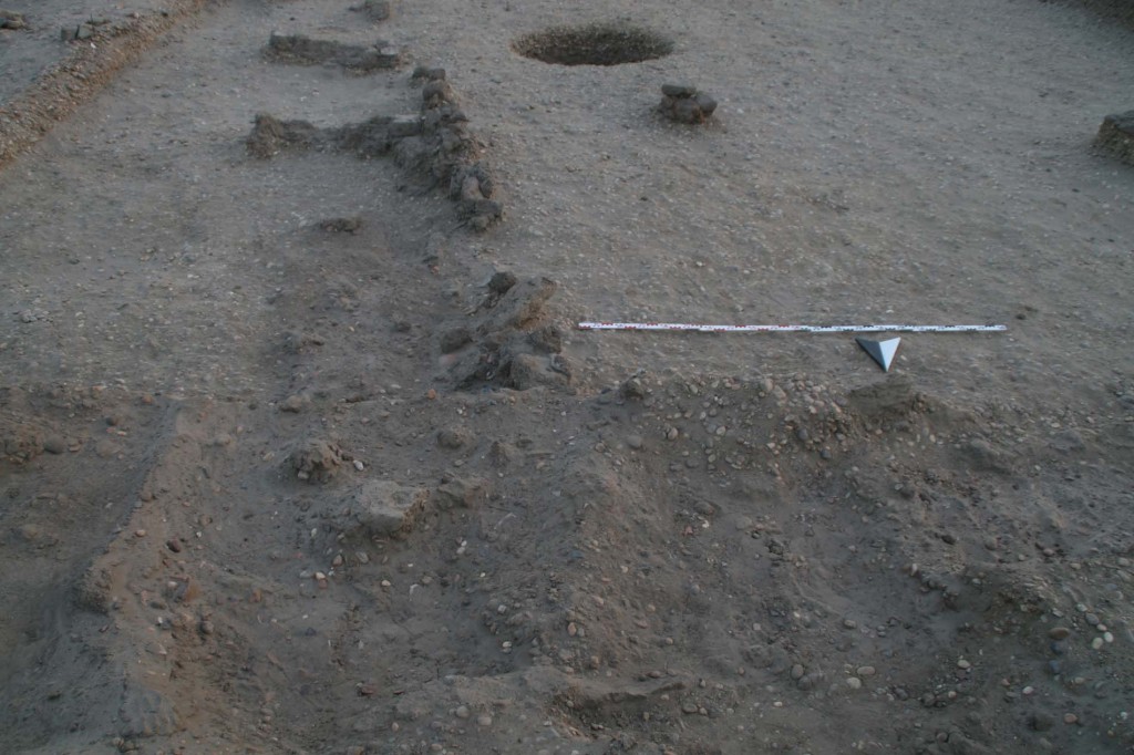
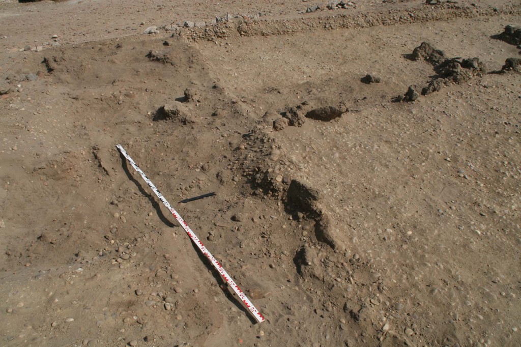
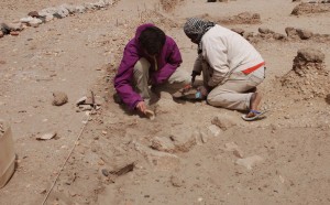
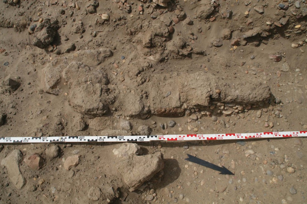
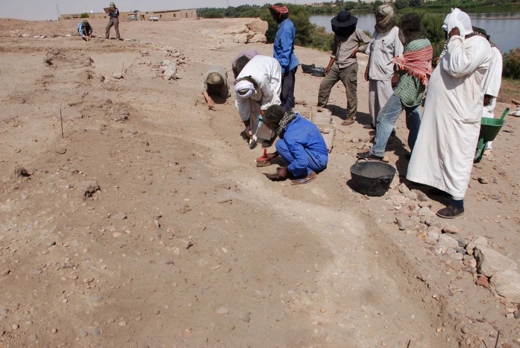
For now, millions of thanks go to our team of Sudanese workmen dDSC_4083
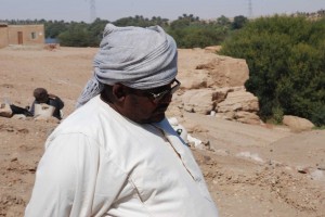
irected by Rais Imad Mohammed Farah – without them the work at SAV1E would not have been possible in the last 6 weeks! I am especially grateful for all of their support and mostly good spirit despite of sometimes extremely severe outer conditions (heat, nimiti-bugs and strong wind) and a very challenging site to excavate – negative impressions of walls are not easy to detect in gravel deposits! Looking very much forward counting on this “winning team” also in the next field season – insha’allah!

team fieldwork 2013

Evaluating the Northeast corner of Building A

Approaching the end of our fieldwork, we are currently focusing on measuring DSC_5404and mapping the excavated northern part of Building A. As stated earlier, on its eastern side and here at its north-eastern corner, the northern wall running East-West continues towards the Nile.

We have by now removed part of the debris covering this area, comprising of decayed mud bricks, mud mixed with plant remains and very diverse pot sherds, mostly of the Christian and IMG_3777Ottoman period. The complete thickness of the wall is visible, with several bricks still in place, confirming our negative evidence of the robbed wall trench further to the West. At least two layers are preserved and a third layer is partly recognisable. Cleaning of the Northeast corner is time-consuming and not yet finished – assessing the Northeast corner of Building A is thus still on-going and will continue tomorrow.  IMG_3704

From Field Drawings towards Digital Files

In the sixth week of fieldwork, Joerdis and Sebastian started to digitalize our plans and scale drawings from SAV1E. DSC_5220

DSC_5231 DSC_4823More than 30 drawings have been scanned already – as yet these comprise level plane drawings on scale paper (in scale 1:50) as well as detailed drawings from important features like the storage bin 14 or the basket in Square 2b (in scale 1:10 respectively 1:5). In the upcoming week we will document the relevant vertical sections of the squares in scale 1:20. All drawings are made in pencil and coloured according to a site specific system. Most important are of course the outline of structures and walls, the general alignments of bricks and other features at SAV1E. Especially in view of our challenging state of preservation of New Kingdom levels and structures we pay much attention to all details and try to work as meticulously as possible. This will allow us to establish a detailed plan of our site and excavation area – and here we will of course also include our measurements with the total station and CAD files.

A Brief Update on the Architectural Survey

DSC_5173The architectural survey and the reexamination of the southern part of the Pharaonic town of Sai Island continues as planned. Its current focus lies on the eastern part of the area with a prominent large structure, the so-called palatial building featuring a large hall with columns. Floor DSC_5193levels and pavements are partly well preserved and the zone is very interesting, but also highly complex.

Making detailed sketches and taking measurements of structures, walls and mud bricksDSC_5184 are the main daily working tasks of our architect Ingrid Adenstedt in order to reassess the town plan.


Washing & drawing pot sherds

Simultaneously with our fieldwork, processing of finds continues in the DSC_0501courtyard and the magazine of the dig house. The present focus is on the New Kingdom material coming from SAV1E, especially the pottery associated with Building A. The sherds arrive from the field at the house in baskets, arranged according to their archaeological context (square, level and location). The contents of each basket are separated in a first step into the Pharaonic and Post-Pharaonic material.

Diagnostic pieces are selected for further documentation (drawing and photographing), but prior to this they have to be washed and cleaned.DSC_4942

Our pottery team around Nicole and NM 1002Vicky was strengthened today by Mohammed and Shazeli as the amounts of sherds to be documented have increased considerably in the last weeks. The pottery willVG 1002 keep us busy in the next weeks!


Organic material at SAV1E

Within the Southern baulk of Square 2 we discovered already 2 weeks ago organic remains below collapsed mud bricks, most likely some kind of mat or basketry. The extension towards the South allowed us now to check this interesting find of well-preserved organic material at SAV1E properly: we did not yet clean it completely as it was a very windy day today, but its outline and an oval shape is already visible, still partly covered by mud brick debris, pot sherds, sandy filling material comprising a stone and a bone fragment. We will make a detailed drawing and then uncover it completely.

IMG_0182In Egyptian towns like Sai Island, one sometimes finds organic material in good state of preservation – especially due to the very arid climate in both Egypt and Sudan. Basketry is quite well known from Pharaonic settlement sites like Amarna. At the first glance, the basket at SAV1E seems to me rather late in date, especially since it was covered by a thick dump layer of mixed material, including in particular PIMG_0333ost-New Kingdom pottery. However, its find spot is just to the south of the storage bin 14, safely dated to the early New Kingdom. It is also more or less on the same level – and one early 18th Dynasty dish sticks already out from below the basket (visible to the lower right corner on the first picture above). Further work will hopefully provide proper dating indications.


Some Answers & New Questions at SAV1E

IMG_0054

Northeast corner of Building A, looking towards the South

After five weeks of fieldwork, we are happy to confirm the extension of our Eastern wall of Building A: just as it was visible on the geophysical survey map, we located the Northern end of this wall and its Northeast corner in our extension to Square 1. The distance from this corner to its Southern counterpart is a little less than 16 meters. Similar as in the Southern part, we were only able to trace the final layer of bricks in fragments, most of the Northern wall running East-West is now just a negative, filled with sand and some debris.As encouraging as these results are, they are of course also raising new questions: (1) the Northern wall seems to continue towards the East – at least 3 bricks are perfectly in line and still in place, situated to the East of the Eastern wall; more bricks are visible further to the East, still covered by a thick layer of mud. Probably the wall was thus running further towards the Nile. (2) A nice mud floor covers the area just north of the newly located Northern wall of Building A and seems to be associated with it.

IMG_2958

View of the Northern wall of Building A, featuring an extension towards the East (looking Southeast)

All in all, Building A seems to be more complex as originally thought. We probably have one large courtyard with the substantial walls we labelled so far as Eastern, Southern and Northern walls, comprising the storage pits mentioned earlier like pit 6. Towards the west, there might have been at least one North-South divider after roughly 5 meters, of which we have only a few bricks left.

We will focus in the upcoming week on this still puzzling Northern area of our main structure at SAV1E which we can firmly date to the 18th Dynasty.IMG_0080

More Bricks at SAV1E

Work focused at the end of week 5 on the southern extension of Square 2. The surface in this area was scattered with numerous pot sherds and a lot of stone fDSC_4573ragments. Among the main reasons for extending the limits of our square was feature 20 in the south-western corner of Square 2: two mud bricks in line, obviously continuing towards the South. The alignment is similar to feature 18 and we wanted to get more information about its preserved size and if possible some stratigraphic information.

Within the southern extension we uncovered another two, fragmented bricks belonging to feature 20. On both sides of it several stone fragments came up and especially the southern end of the structure is heavily disturbed respectively lost. feature 20

All in all, the area is characterised by broken bricks, pottery sherds of mixed date and a lot of stone chips and gravels. It looks as if the natural grounds slopes towards the South and we found a large dump deposit, filling a natural depression to the South of SAV1E. Work will continue here in the upcoming week.


Brushing bricks of Building A

The little of what is left from the eastern wall of Building A required very careful cleaning, especially in its highly damaged South-eastern corner. Situated on a sloping area, we worked today in the eastern extension of Square 2 and were able to make the general outline of the wall visible.DSC_4347Most of the bricks on a gravel deposit are almost faded and the material is generally very fragile – having been disturbed in ancient and medieval times. Nevertheless, a lot of 18th Dynasty pottery is associated with this section of mud bricks, again primarily comprising of bread moulds and beer jars.

Square 2a 0502Together with some bricks still in place in the northern extension to Square 1 (= the North-eastern corner), we will be able to measure the North-South extension of Building A exactly. Detailed mapping will continue tomorrow, for now a length of roughly 16 meters confirms the plan visible on the geophysical survey map from 2011.

The Architectural Survey

Apart from the newly excavated area, one focus of this year’s campaign lies in the reexamination of the southern part of the town which was uncovered in the 1970ies by M. Azim. In this area, the remaining walls are in parts preserved up to 2-2.5 m.

The original layout of the New Kingdom settlement can be traced very well here: inside a massive fortification wall with the main entrance gate situated on the western side and facing a temple (Temple A), the streets and houses are laid out in a grid-like pattern with distinctive quarters for the administrative buildings, residential houses and storage rooms.

H_overall view01

Overview of the residential quarter of the New Kingdom town

The task of this year’s three week long architectural survey of the area is to take a closer look at the remains and to reassess the results and observations made in the 1970ies. In the first week, the work focused on the storage area. While in the northern and southern part longitudinal storage rooms were built over the remains of round silos, the central part of this town quarter presents itself as more complex: here, at least four building phases can be detected, considerably changing the original layout of this storage area. In the last phase, housing units were possibly built into the former storage rooms.

Remains of a storage silo

Remains of a storage silo

New Kingdom door post reused as a threshold

New Kingdom door post reused as a threshold

The method of work as of now is to make detailed sketches and to take measurements in order to enhance the city plan made in the 1970ies. This and the compilation of a catalogue of each room shall serve as a basis for further research. In the remaining two weeks of the survey, the focus of the work will shift to the residential quarters. A closer look shall also be taken on the various building techniques applied in the different areas of the town.