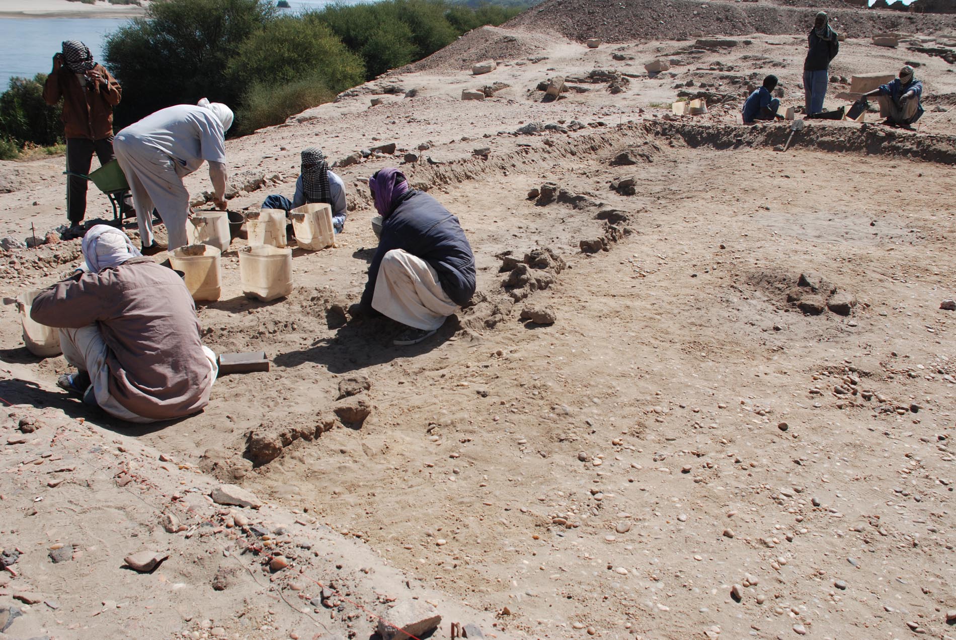
Given the sloping appearance of square 2, it was only today that we went deeper in the gravel deposit just north of the small bin where we found the in situ 18th Dynasty ceramics (feature 14). At first appearance, this massive deposit seemed natural and just as a topographical feature. Here is a view of SAV1E with square 2 in the foreground, prior to excavation:
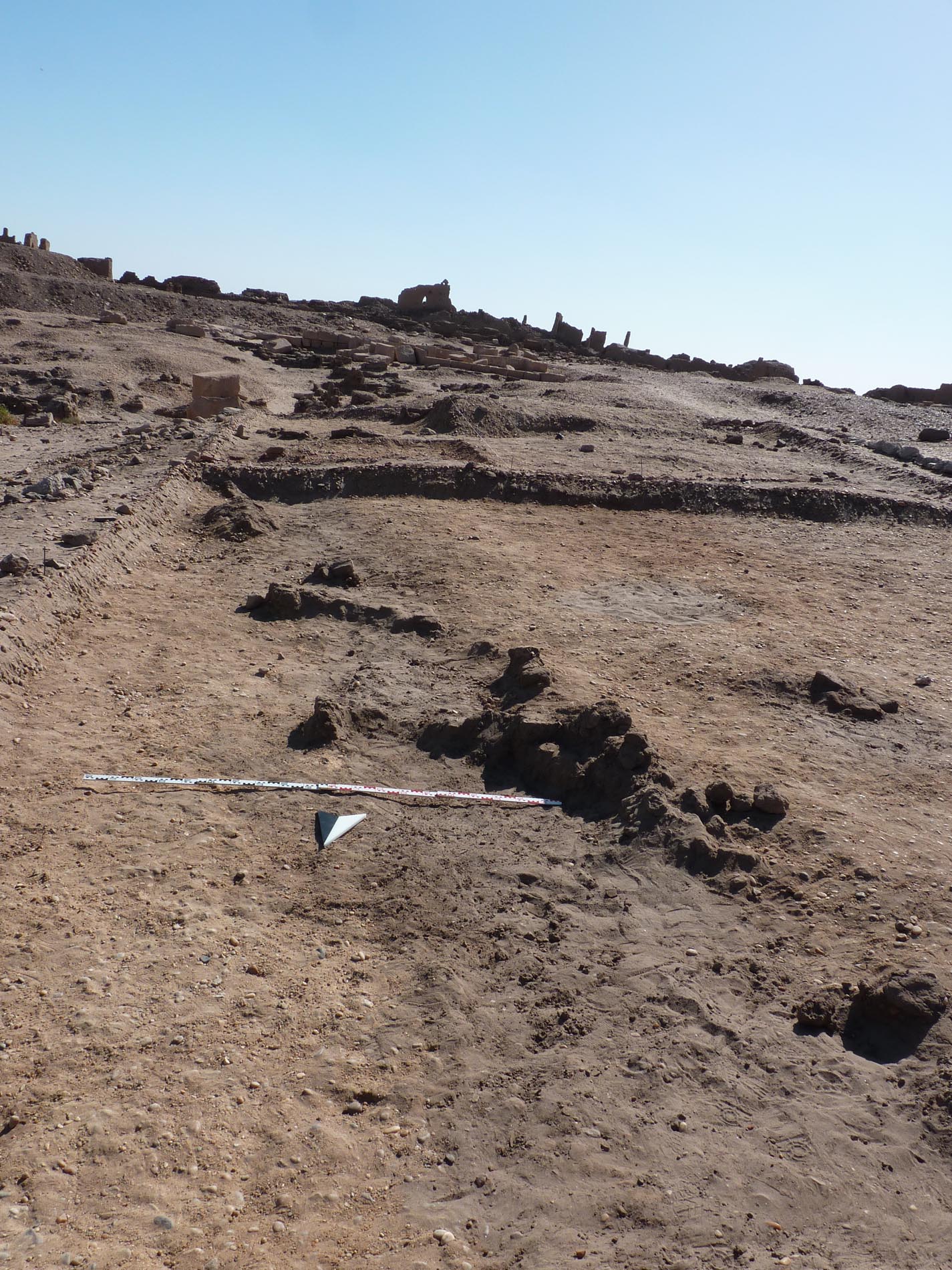
 To confirm the hypothesis, we now decided to remove more of the gravel, working very slowly and horizontally. And this proved to be successful: Despite the difficulties recognizing any structures in this massive pebble layer, we managed to trace remains of a new mudbrick structure – a small section of a wall running more or less North-South (to the left in the picture below) and some scarce remains further to the East (to the right in the picture).
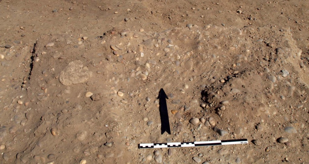 Although just a few centimetres are preserved, this almost lost new feature 18 confirms again early Pharaonic occupation in SAV1E: ceramics associated with it are predominantly (71 %) datable to the early 18th Dynasty; especially relevant is one fragment of a beer jar, still sticking to the remains of what was once a mudbrick.